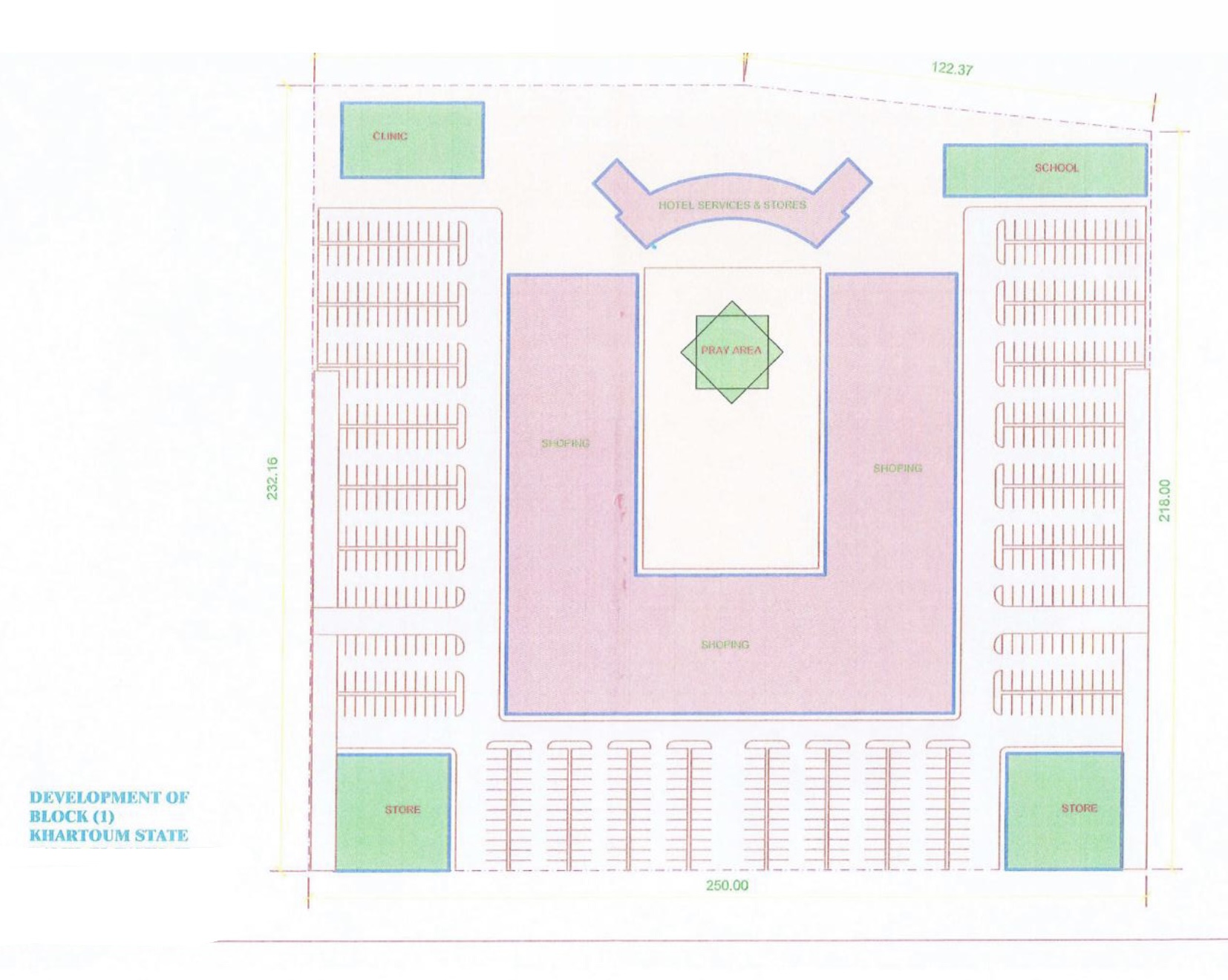
Land layout - primary development plan.
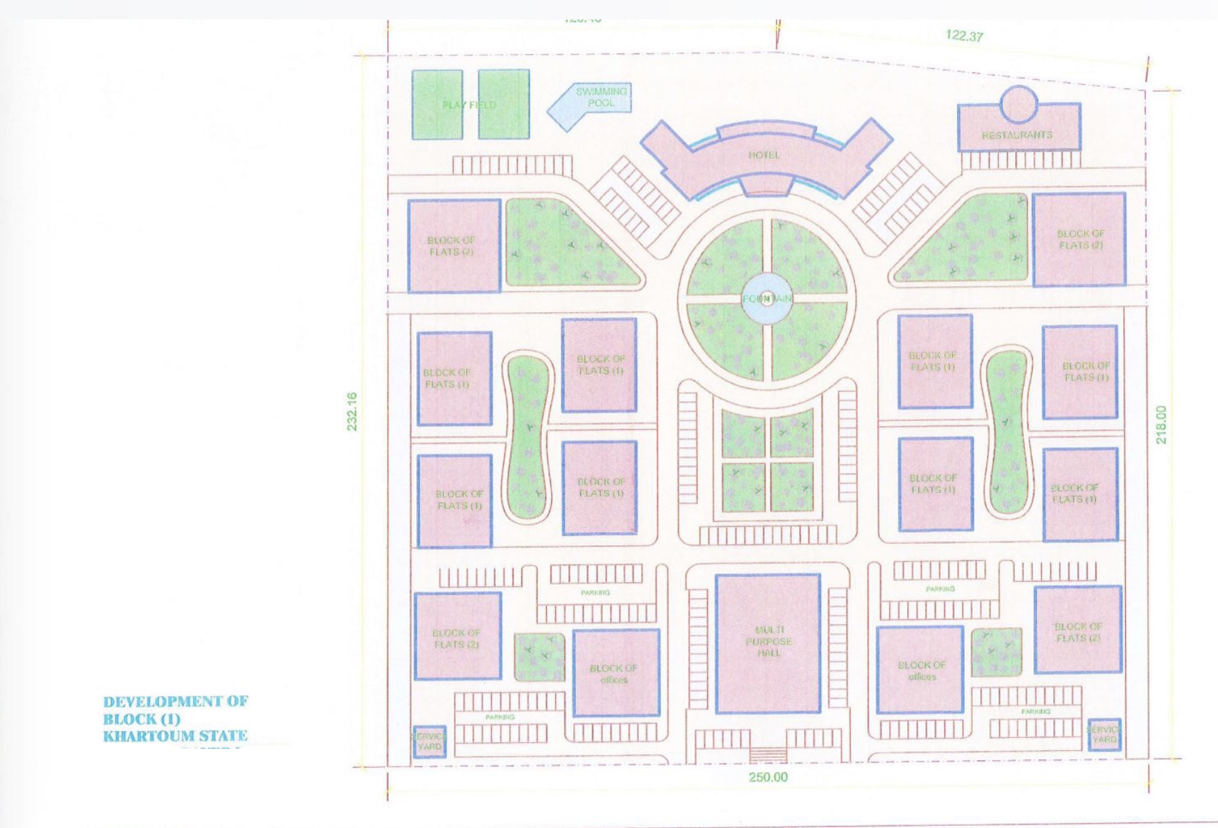
Alternate layout showing extended land zoning.
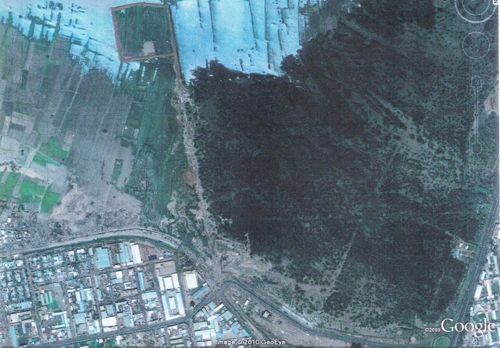
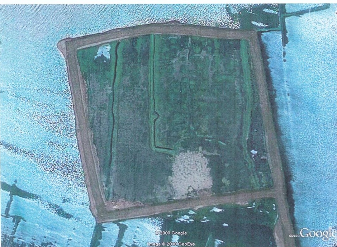
Satellite view showing proximity to the White Nile, Sunut Forest, and Khartoum International Airport.
Broader map showing the plot's position relative to Khartoum city center and touristic areas.
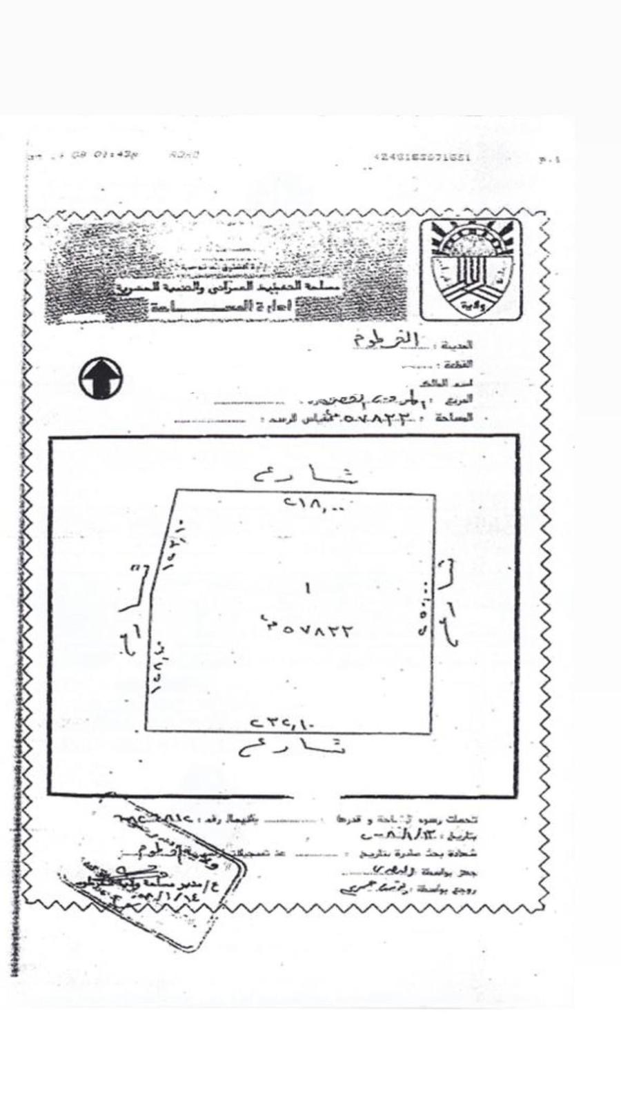
Official Arabic land deed confirming ownership and boundaries, registered under Sudanese property law.

Architectural concept — potential for high-rise mixed-use towers on the site.
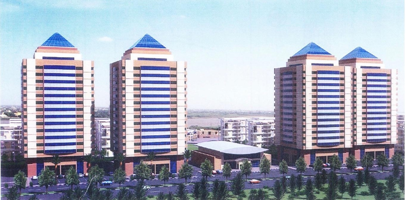
Artistic render of what could be developed — combining commercial, residential, and hospitality buildings.